Life afterwards
Housing
The province’s planning scenario puts 70,000 households out of their homes in Greater Vancouver after a magnitude 7.0 crustal earthquake. Most of those homes are still standing. In Vancouver, areas with high concentrations of damage may be closed off for weeks, months or even years.
Last reviewed
At a glance
In Vancouver, areas with high concentrations of damage may be closed off for weeks, months or even years, which keeps people out of homes that came through the shaking.
Expected disruption: Weeks to years where damage is heaviest
Source: Seismic Risk and Risk Reduction in Existing Privately Owned Buildings, RTS 16091 (report plus Appendix A technical assessment), Micah Hilt with NRCan and UBC Civil Engineering ↗ · City of Vancouver · report 1 Nov 2024; council 12 Nov 2024
Buildings must be inspected before people return
After the shaking, somebody has to walk up to each building, judge it, and leave a placard on the door. In Greater Vancouver, the province’s magnitude 7.0 crustal scenario counts 10,000 buildings red-tagged as uninhabitable and 6,100 yellow-tagged as conditionally inhabitable.
The yellow tag is the condition most people would be in: the building stands, entry is restricted, and nobody has said for how long.
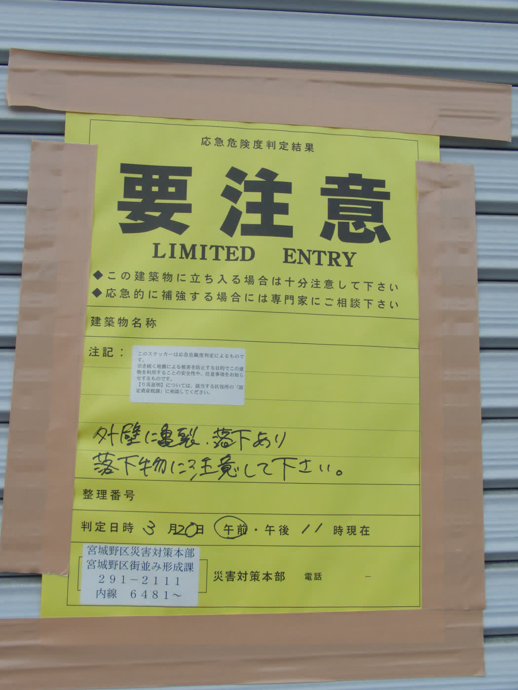
Behind every placard is a queue. In a Cascadia earthquake, damage assessment teams are expected to be overwhelmed, leaving “about two million people in need of alternate housing”. That count is province-wide, and it comes from the province’s written scenario, not a model run.
Cordons can close undamaged buildings
In Vancouver, areas with high concentrations of damage may be closed off “for weeks, months, or even years”, and the West End and the Downtown Eastside are the neighbourhoods most at risk of it.
The City draws a cordon around an area and ties it to concentrations of damage, not to any single address. That is why displacement counts run so far above red-tag counts. A building that came through the shaking can sit inside a closed block, and nobody lives in it while the block is closed.
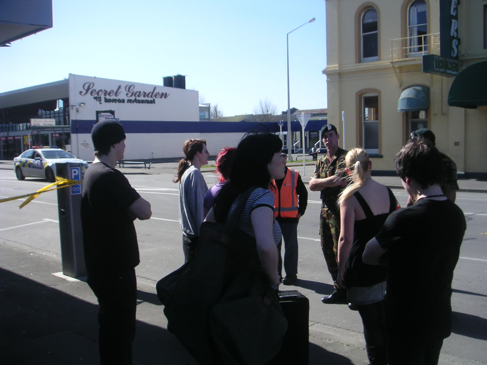
“Prolonged and challenging building repair due to heavy demand for building assessment and trade services, even for buildings that only have minor damage.”
The scarce resource is people. Every building needs somebody qualified to assess it and somebody qualified to repair it, one building at a time. Large sections of neighbourhoods would stay inaccessible for an extended period.
Failed utilities make homes uninhabitable
A green placard, meaning the building may be occupied, is not the end of it. “Disruption to water and wastewater systems are expected for many months following the event.” That is the province’s own sentence, and it covers a household whose building was never damaged at all.
A home runs on water, sanitation and electricity. Each comes back on its own schedule, and a household waits on the slowest of the three: a lift needs power, and flushing needs water somebody has to spare.
Published displacement figures measure different things
| Where | Scenario | What is counted | Figure |
|---|---|---|---|
| Greater Vancouver | Magnitude 7.0 crustal | Households displaced | 70,000 |
| City of Vancouver | Magnitude 7.2 crustal | Occupants disrupted or displaced more than 90 days, at night | 230,520 |
| City of Vancouver | Magnitude 9.0 Cascadia | The same, at night | 115,850 |
| British Columbia | Magnitude 9.0 Cascadia | People displaced | 577,039 |
| British Columbia | Magnitude 7.0 crustal | People displaced | 345,774 |
The figures do not correct each other. The 70,000 counts households in Greater Vancouver, not people and not the province. The two city rows count occupants, inside the City of Vancouver alone.
For Vancouver the rarer magnitude 7.2 crustal earthquake is far worse than the magnitude 9.0 megathrust: about four times the buildings completely or extensively damaged. The reason is shaking at City Hall comparable to the design forces used for new buildings.
Most Vancouver buildings predate modern seismic standards
Vancouver has about 90,000 buildings. Nearly 70 per cent were built before 1990, when early modern seismic standards arrived, and about half before 1973, before there were any. Five privately owned building types drive nearly 80 per cent of the city’s seismic risk while making up roughly a tenth of the buildings.
The wood-frame apartment building drives more residential displacement than any other type, the detached house included: 64 per cent of its residents are modelled as displaced for more than 90 days in the magnitude 7.2 scenario, which is 45 per cent of the city’s displacement total. Wood-frame houses and wood-frame apartments are different buildings: the apartments are flagged for lack of wall stiffness and strength, and for soft-storey collapse risk where the ground floor is left open for tuck-under parking.
In unreinforced masonry residential buildings, brick walls with no steel in them, over 97 per cent of residents are modelled as displaced for more than 90 days.
Six neighbourhoods carry 65 per cent of the city’s seismic risk: the West End, the Downtown Eastside including Chinatown and Strathcona, Downtown, Kitsilano, Fairview and Mount Pleasant. The census tracts with the highest risk average roughly 70 to 75 per cent renters.
Disaster support hub capacity is not published
Vancouver publishes 25 disaster support hubs, gathering places that can work outdoors and where group lodging and shelter may be provided depending on impacts. No capacity figure is published for them.
“Large numbers of people may require interim housing for months to years. Commercially available shelter space, such as hotels, may be unavailable due to demand, damage, and reduced staffing capacity.”
The same strategy lists “Interim housing plans developed” as a condition for moving into recovery, which is work still to be done. And the province wrote it “based on the assumption that First Nations and local authorities are unable to stand up standard emergency response functions, such as emergency support services (ESS), search and rescue (SAR), damage assessment, and shelter for evacuees.”
What you can do
In Vancouver a closed block can stay closed for weeks, months or even years, and the province lists the plan for where people go next as work still to be done.
- Find out when your building was put up, what it is built of, and what ground it stands on. Your landlord, your strata or your municipality can tell you. Age and type are what the City’s own model runs on: nearly 70 per cent of Vancouver’s buildings predate 1990, and wood-frame apartments and unreinforced masonry carry the highest displacement rates in it.
- Ask someone outside the region if you could stay with them for months, and get a clear answer now. Large numbers of people may need interim housing for months to years, and hotels may not be available.
- Keep copies of essential documents somewhere else. A cordon closes the door on whatever is behind it: identification, insurance papers, a prescription list, a spare set of keys. A copy held somewhere else, or by somebody else, is the one you can still get at.
Sources on this page
Numbered in the order they are cited. Each entry links back to where it is used.
- [1]ReportProvincial Earthquake Immediate Response StrategyMinistry of Emergency Management and Climate Readiness, Province of BC · 2022Open the document ↗
- [2]ReportSeismic Risk and Risk Reduction in Existing Privately Owned Buildings, RTS 16091 (report plus Appendix A technical assessment), Micah Hilt with NRCan and UBC Civil EngineeringCity of Vancouver · 2024Open the document ↗
- [3]ReportDisaster and Climate Risk and Resilience Assessment: Provincial ReportEMCR and Ministry of Energy and Climate Solutions, Province of BC · 2025Open the document ↗
- [4]ReportHazard & Risk Explorer, Earthquake and Introduction chaptersCity of Vancouver (ArcGIS StoryMaps) · 2025Open the document ↗
- [5]ReportHazard Fact Sheet (English)City of Vancouver · 2024Open the document ↗
- [6]DatasetCanada's National Earthquake Scenario CatalogueGeological Survey of Canada / NRCan · 2021Open the document ↗
- [7]ReportBuildings Seismic Risk Reduction Action Plan, RTS 17657, incl. Appendix C (Ausenco archetype retrofit study)City of Vancouver · 2026Open the document ↗
- [8]ReportDisaster support hubsCity of Vancouver · 2017Open the document ↗
- [9]ReportB-SAFERCity of Burnaby · 2026Open the document ↗