Life afterwards
Transportation
Much of the region is reached only by bridge or tunnel. After a major earthquake the crossings close until they have been inspected, and roads could run at much-reduced capacity for weeks to months.
Last reviewed
At a glance
Many bridges are expected to be slightly or moderately damaged, and each has to be inspected before traffic is let back over it.
Expected disruption: Weeks to months at much-reduced capacity
Source: BC Smart Infrastructure Monitoring System ↗ · BC Ministry of Transportation and Infrastructure · Sep 2022
Source: Provincial Earthquake Immediate Response Strategy ↗ · Ministry of Emergency Management and Climate Readiness, Province of BC · v1.0 Aug 2022; v1.1 administrative updates Aug 2026
Much of the region is reached only by bridge or tunnel
Metro Vancouver is built around water. Burrard Inlet separates the North Shore from Vancouver, False Creek cuts through the middle of the city, and the Fraser River and its arms separate Vancouver from Richmond and the northern suburbs from Delta and Surrey. Vancouver’s one land connection runs east through Burnaby and New Westminster. Richmond and the airport on Sea Island have none: every way on and off is a bridge or a tunnel. The North Shore has two vehicle crossings, with mountains behind it.
Work, school, deliveries, fuel and food cross the water on the same handful of structures, and a trip across the region stops where one of them is closed.
The region's 19 road, rail and transit crossings, over Burrard Inlet, False Creek, the North and Middle Arms of the Fraser, the Fraser itself and the Pitt River. Vancouver's land connection runs east; every way onto Richmond and Sea Island is a bridge or the George Massey Tunnel.
Bridge Tunnel
Burrard Inlet
- Lions Gate
- Ironworkers Memorial Second Narrows
False Creek
- Burrard
- Granville
- Cambie(seismic upgrade under way)
North Arm of the Fraser
- Arthur Laing
- Oak Street
- North Arm (Canada Line)
- Knight Street
- Queensborough
Middle Arm of the Fraser
- No. 2 Road
- Dinsmore
Fraser River
- Westham Island
- George Massey Tunnel(replacement due in 2031)
- Alex Fraser
- stal̕əw̓asəm(replaced the Pattullo in 2026)
- Port Mann
- Golden Ears
Pitt River
- Pitt River
Many crossings have been upgraded, and how each would hold up is hard to predict
The province and the City of Vancouver have been strengthening bridges against earthquakes since the 1990s. The Lions Gate, the Granville and the Burrard are among those that have had seismic work. Some crossings are recent: the stal̕əw̓asəm Bridge, which replaced the Pattullo, opened fully in 2026.
Saying which crossings would still be usable the day after is much harder than it looks. It depends on the structure as it stands today, on the ground under its approaches and on the earthquake itself, and the answer moves as the engineering codes do. The Oak Street Bridge was retrofitted in the 1990s and reassessed in 2021 and 2022, because “changes to codes and seismic hazard models since that time have resulted in substantially higher seismic loading requirements”. Further work was identified, and the results are not public. That is the usual case: most of these crossings have been assessed, and most of the assessments are not published.
The City of Vancouver says the Cambie Bridge “can be seismically upgraded to levels that are not achievable with Granville and Burrard”, and that once the work is finished “emergency vehicles will be able to use the bridge shortly after an earthquake”. Design began in 2019, the first phase was finished in 2022, and the upgrade is not complete.
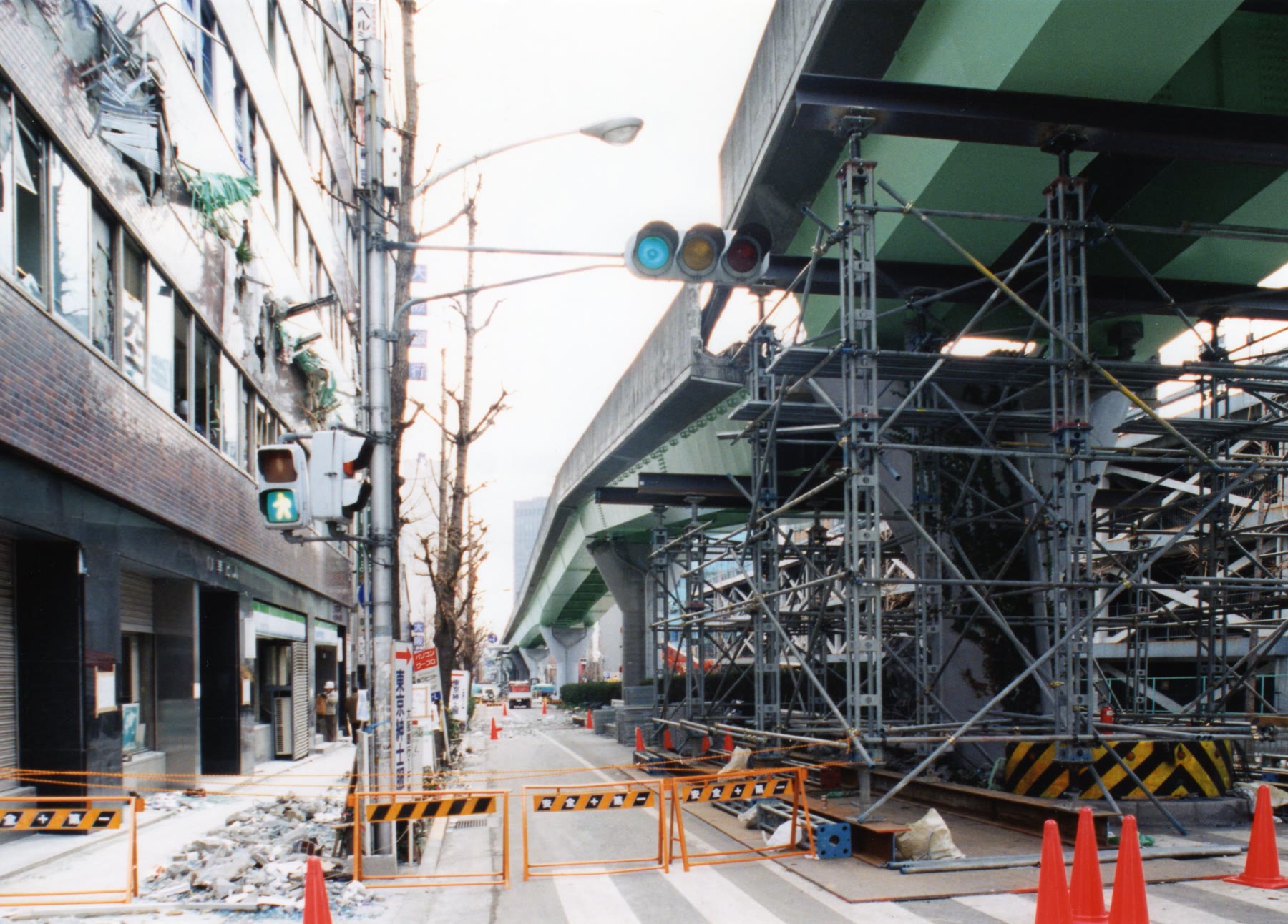
Whatever happens to the bridge itself, the road leading onto it can fail. A bridge approach is usually an embankment of earth, and where it sits on loose, wet ground, liquefaction, which is saturated soil losing its strength and behaving like a liquid while the ground shakes, can make it settle or slide sideways. A bridge that stands with a step at the end of it carries nobody.
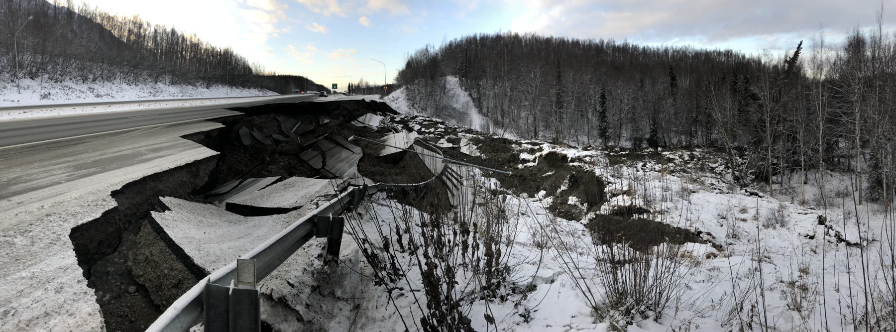
A standing bridge is closed until it has been inspected
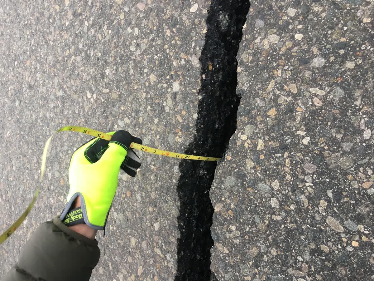
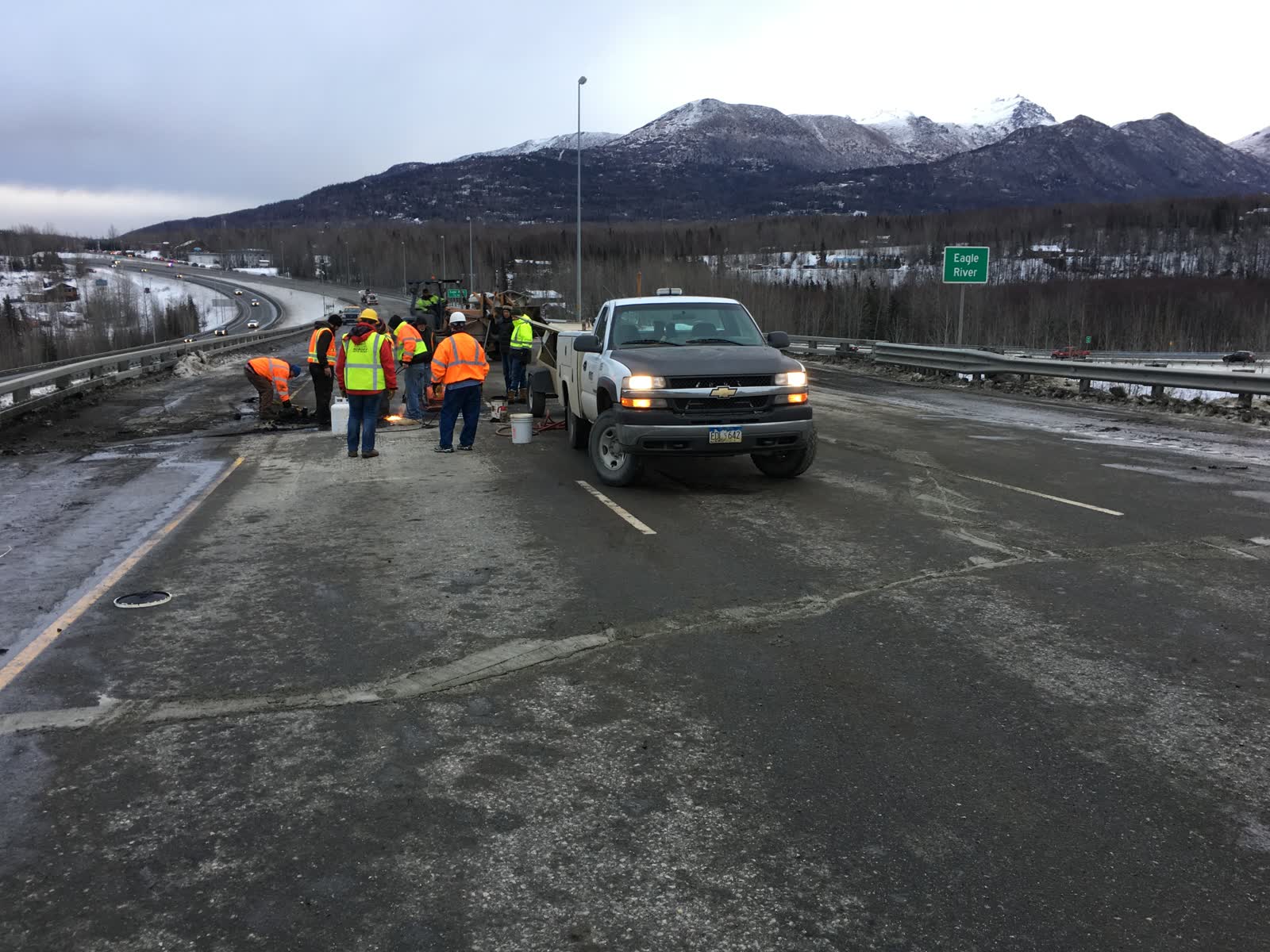
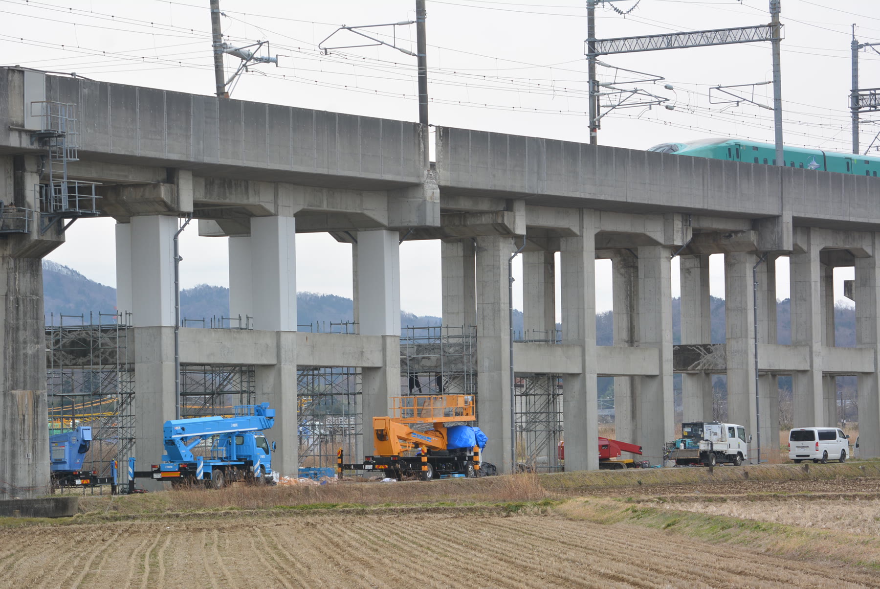
After a major earthquake there will be “many slight-to-moderately damaged bridges”, and each has to be checked before traffic is let back over it. The Ministry of Transportation maintains over 2,500 bridges in the highest seismic zones of the province, and has put monitoring instruments on fourteen bridges and one tunnel so that inspectors can find out quickly which are safe and go to the most important first.
The George Massey Tunnel is being replaced
The tunnel carries Highway 99 under the Fraser between Richmond and Delta. It was built in the late 1950s, before engineers understood how loose, wet ground behaves in an earthquake. A seismic upgrade of the structure was finished in 2006; a second stage, to improve the ground around it, was not carried out.
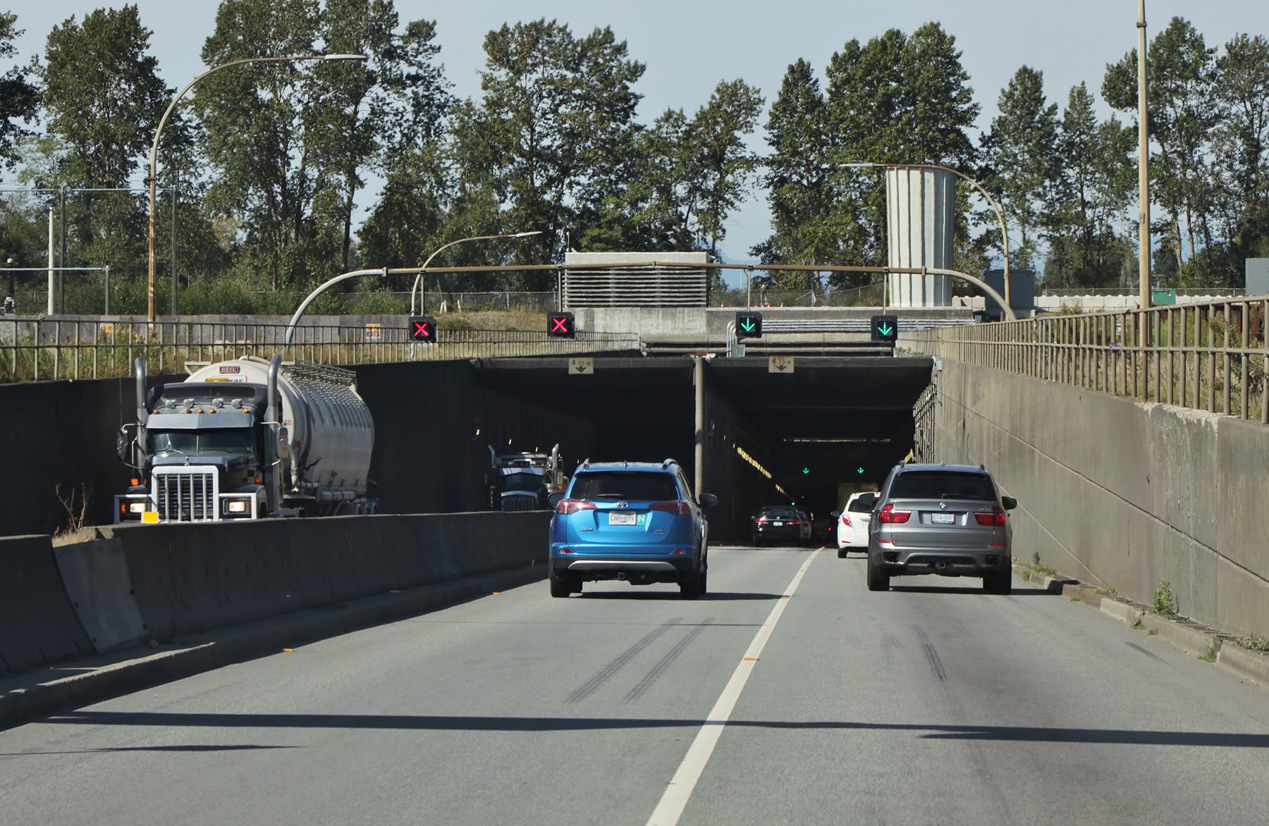
A system installed in 2008 is designed to close the tunnel to new traffic when it detects strong shaking, while letting vehicles already inside drive out.
The province is replacing it with an eight-lane tunnel. In July 2026 the budget was updated to $8.5 billion, with major construction from 2027 and completion in September 2031.
Road capacity could be reduced for weeks to months
From the province’s magnitude 7.0 planning scenario:
- Transportation routes will be “damaged or only partially functional and operating at a much-reduced capacity for an extended period (weeks to months)”.
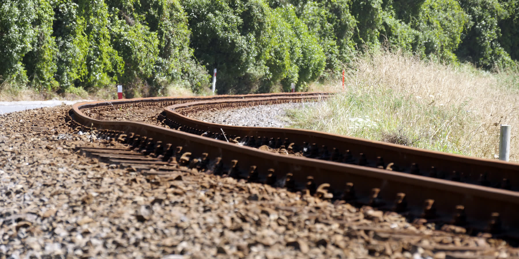
- “The rail network in the impact area may be largely unusable during the immediate response phase.”
- “Liquefaction of roadways in Richmond and Delta may make driving difficult, which may compound impacts to Vancouver International Airport and Tsawwassen Ferry Terminal.”
A magnitude 4.8 stopped two SkyTrain lines
On 29 December 2015 a magnitude 4.8 earthquake occurred 12 km southeast of North Saanich, 52 km down. TransLink’s own account: “Although SkyTrain has been designed to withstand seismic events, the earthquake triggered guideway intrusion alarms along the Expo and Millennium lines. In the interest of the public’s safety, SkyTrain service was suspended and inspections of both lines were conducted.” Service resumed by 1am, about eighty minutes later. The Canada Line kept running, which TransLink attributed to 70 per cent of its track being underground.
No damage was found: the alarms alone stopped the trains.
What you can do
Nobody can say today which crossing will be open the morning after. What is in reach is where you plan to be.
- Plan for the crossing you use to be closed or under inspection. Inspectors will have many damaged bridges to check, and the most important go first.
- Know which side of the water you need to be on during a working day. The side you are on when the shaking starts may be the side you stay on.
- Prepare the side you would be stuck on, at work as well as at home. What the province plans for people while the crossings are shut or being inspected is set out in getting around.
Sources on this page
Numbered in the order they are cited. Each entry links back to where it is used.
- [1]ReportMinistry to begin Lions Gate Bridge rehabilitation workBC Ministry of Transportation and Infrastructure · 2016Open the document ↗
- [2]ReportAward of Contract No. 9508 — Granville Bridge Seismic Upgrading Phase IIICity of Vancouver · 1995Open the document ↗
- [3]ReportAward of Contract — Seismic Upgrading of Burrard Bridge (Bent 24)City of Vancouver · 2000Open the document ↗
- [4]ReportNew stal̕əw̓asəm Bridge fully open as Pattullo Bridge demolition beginsProvince of BC · 2026Open the document ↗
- [5]ReportDing & Hamersley, "Seismic upgrade of Oak Street Bridge with GFRP", Paper 3279, 13WCEE VancouverKlohn Crippen / 13WCEE · 2004Open the document ↗
- [6]ReportOak Street Bridge seismic retrofit, project recordBASIS Engineering, for WSP / BC MoTT · 2021Open the document ↗
- [7]ReportFederal Funding for Cambie Street Bridge Seismic Upgrade ProjectCity of Vancouver · 2025Open the document ↗
- [8]ReportBC Smart Infrastructure Monitoring SystemBC Ministry of Transportation and Infrastructure · 2022Open the document ↗
- [9]ReportGeorge Massey CrossingCOWI / Stantec for BC MoTI · 2019Open the document ↗
- [10]ReportConstruction continues on Fraser River Tunnel Project with federal partnershipProvince of BC · 2026Open the document ↗
- [11]ReportProvincial Earthquake Immediate Response StrategyMinistry of Emergency Management and Climate Readiness, Province of BC · 2022Open the document ↗
- [12]ReportEvent uw61114971, M4.8 North Saanich, 52.4 km deepUSGS · 2015Open the document ↗
- [13]ReportB.C. earthquake SkyTrain shutdown raises seismic safety questionsCBC News · 2015Open the document ↗