Life afterwards
Water
Metro Vancouver’s own seismic assessment models 267 water main failures across the region in a magnitude 9.0 earthquake. About 60 of them fall at the 71 points where mains cross under rivers and inlets. Those are the hardest places in the system to reach.
Last reviewed
At a glance
A magnitude 9 megathrust is modelled to cause 267 water main failures across Metro Vancouver. About 60 occur where mains cross under rivers and inlets, the hardest locations to repair.
Expected disruption: Many months
Source: Regional Water Supply System Lifeline Study — Seismic Vulnerability Assessment ↗ · Metro Vancouver · Feb 2022
Source: Provincial Earthquake Immediate Response Strategy ↗ · Ministry of Emergency Management and Climate Readiness, Province of BC · v1.0 Aug 2022; v1.1 administrative updates Aug 2026
River crossings are the hardest repairs
“It’s one thing for a pipe under the Lougheed Highway to leak. We can go dig that out, we can throw a patch on it, we can be out of there in four hours. But for a crossing under the Fraser River, obviously, if that breaks, to fix that takes a very long time.”
Where the breaks fall matters more than how many of them there are.
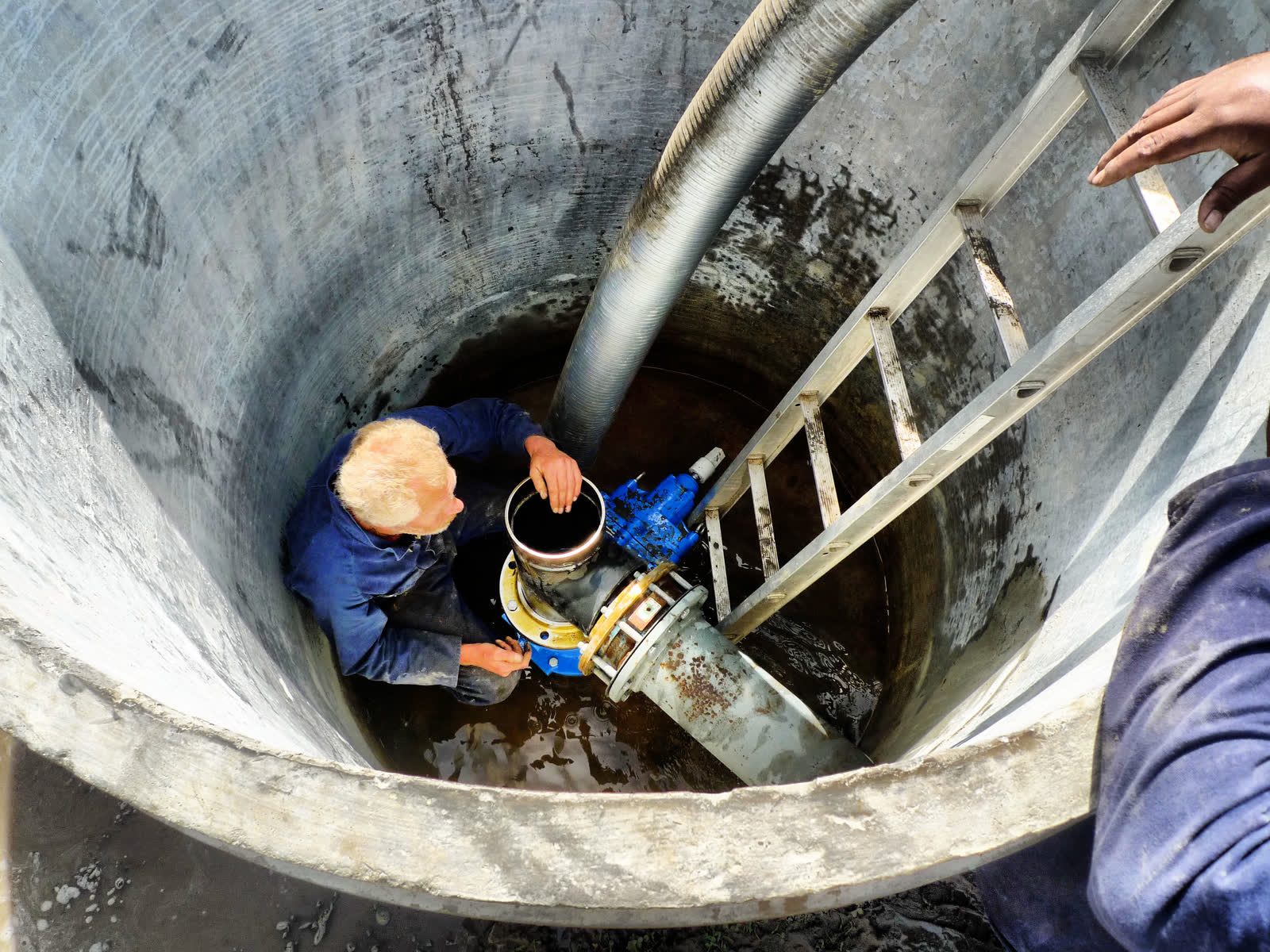
The model finds 267 main failures
Metro Vancouver commissioned the engineering firm WSP Canada to assess the seismic vulnerability of the regional water supply system. The study was published inside Metro Vancouver in February 2022. It reached the public two months later, when a heavily redacted copy released under freedom-of-information law was obtained by Glacier Media, which reported it in April 2022. Everything in this section comes through that reporting.
Under a magnitude 9.0 megathrust, the offshore earthquake where one tectonic plate slips under another along hundreds of kilometres at once, the study modelled:
- 267 water main failures across the region and its 21 municipalities.
- 22 water mains rated at high seismic vulnerability, running through the North Shore, Vancouver, Burnaby, New Westminster, the Tri-Cities, Maple Ridge, Richmond, Delta and Surrey.
- About 60 breaks across the 71 water crossings, including three to four in the hardest category, which is the Fraser River, the Pitt River, False Creek and Burrard Inlet.
The 267 counts failures anywhere in the network, across the whole region. The 60 counts breaks at the 71 river and inlet crossings alone, the part of that total falling on the assets hardest to reach.
The figures come from a review of 123 existing reports on reservoirs, pump stations and pipelines. They do not come from a single model run. They are more than eight and a half times the failures projected by the region’s previous study in 1993. The study is four years old.
Water restoration time has not been published
About two thirds of the roughly 300-page report is blacked out in the public version. Two of the withheld pieces are what a restoration estimate would be built from: the number of leaks and breaks per main, and the damage estimates for 21 water storage facilities. Both were removed under freedom-of-information exemptions.
Metro Vancouver’s own Drinking Water Management Plan 2026, which is the region’s governing drinking water document, contains no restoration estimate of any kind. It names seismic risk as a core pressure, and the first action under its resilience strategy is to “increase the seismic resilience of the water system by conducting prioritized structural analysis to identify seismic vulnerabilities”.
In 2026, identifying the weak points is still work to be done.
Metro Vancouver owns the transmission mains; the member municipalities own the pipes in the street. The plan’s third action commits to coordinating with those municipalities “to identify points of possible failure”, which says in the region’s own words that the joined-up picture across that seam has not been assembled yet.
The province expects disruption for many months
“Disruption to water and wastewater systems are expected for many months following the event.” The sentence is qualitative, it covers sewers in the same breath as water, and it is region-wide. It makes no claim about a specific pipe. The province wrote it for its shallow crustal M7 planning scenario.
The province’s Cascadia assessment states that “people are thirsty within 24 hours”, and that “distributing bulk potable water across the affected region remains challenging for the first four to five days”.
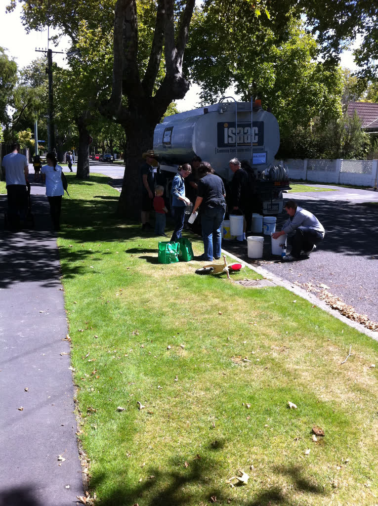
The four to five days are about trucking water to people; the many months is about repairing the network. Merging them would suggest water comes back in a week.
Richmond’s figures do not apply across the region
New Westminster’s potable water emergency response plan carries a damage and duration table in its earthquake annex: 200 to 300 breaks in a 475-year event, at “approximately 1-3 days per break”. It gives “weeks to months” for the loss of the regional supply through landslides.
It covers New Westminster’s own distribution pipes and nobody else’s. Its scenarios are 1-in-100 and 1-in-475 year events, far below the level either scenario described here is built on, so the break counts do not transfer to them. The one to three days is how long a single break takes to repair, not how long the city waits: turning it into a restoration time needs a crew count the plan does not give. The weeks to months attaches to the regional supply being cut by landslides, not to those 200 to 300 breaks. And the table is a response plan’s planning assumption. No study produced it.
Metro Vancouver has published nothing comparable.
Three new water tunnels are still under construction
Metro Vancouver is replacing its river and inlet crossings with deep bored tunnels “designed to ensure delivery of drinking water in the event of a major earthquake”. It says there are five, and its construction listing names four of them.
| Tunnel | Status |
|---|---|
| Second Narrows | 30 m below the bottom of Burrard Inlet, about 1 km long; expected complete in 2028 |
| Annacis | Started 2022, expected complete at the end of 2028 |
| Stanley Park | Under construction, replacing a 1930s main |
| Cambie-Richmond | In design |
The Port Mann water supply tunnel, completed in 2017, was the first deep crossing of this kind in the region.
Metro Vancouver describes the new tunnels the same way each time, as meeting current seismic standards and as built so that water keeps flowing after a major earthquake. Those crossings are where about 60 of the 267 failures fall, and they are the repairs that take longest.
Elsewhere the work runs later. The seismic phase of the Palisade Lake outlet works is scheduled to start in the mid-2030s and finish in the early 2040s, timed so that draining the lake does not hit summer supply. As of 2023, four reservoirs built before the 1990s still needed upgrading.
What you can do
People are thirsty within 24 hours, and trucking bulk water around the region is hard for the first four to five days. Stored water at home covers that gap.
- Store four litres per person per day. That is the province’s own figure, for drinking and basic sanitation together. The provincial earthquake guide says to multiply it by at least two weeks, and preparing sets out how to hold that much and what else to have ready.
- Count pets as well as people. The provincial guide includes every pet in the household in the same calculation.
- Refill it on a schedule you will keep. Water stored years ago and forgotten about is water you have not got.
Sources on this page
Numbered in the order they are cited. Each entry links back to where it is used.
- [1]ReportRegional Water Supply System Lifeline Study — Seismic Vulnerability AssessmentMetro Vancouver · 2022Open the document ↗
- [2]ReportWater Services Manager's ReportMetro Vancouver · 2021Open the document ↗
- [3]ReportDrinking Water Management Plan 2026Metro Vancouver · 2026Open the document ↗
- [4]ReportVancouver's food and water supply vulnerable to massive earthquake, internal reports warnGlobe and Mail, over Agriculture and Agri-Food Canada · 2019Open the document ↗
- [5]ReportProvincial Earthquake Immediate Response StrategyMinistry of Emergency Management and Climate Readiness, Province of BC · 2022Open the document ↗
- [6]ReportDisaster and Climate Risk and Resilience Assessment: Provincial ReportEMCR and Ministry of Energy and Climate Solutions, Province of BC · 2025Open the document ↗
- [7]ReportPotable Water Emergency Response PlanCity of New Westminster · 2009Open the document ↗
- [8]ReportAnnacis Water Supply Tunnel project pageMetro VancouverOpen the document ↗
- [9]ReportSecond Narrows Water Supply Tunnel project pageMetro VancouverOpen the document ↗
- [10]ReportStanley Park Water Supply Tunnel project pageMetro VancouverOpen the document ↗
- [11]ReportCambie–Richmond Water Supply Tunnel fact sheetMetro VancouverOpen the document ↗
- [12]ReportSecond Narrows and Cambie-Richmond water supply tunnel project pagesMetro VancouverOpen the document ↗
- [13]ReportWater Committee agenda, 17 September 2025Metro Vancouver · 2025Open the document ↗
- [14]ReportMetro Vancouver earthquake-proofing water reservoirsCBC News · 2023Open the document ↗
- [15]ReportEarthquake and Tsunami Preparedness GuidePreparedBC / EMCR, Province of BC · 2024Open the document ↗